Land video wall
Back a level
In this section
-
Visiting Te Rauhītanga – The Gathering Place
- Kōwhaiwhai
- A story of Haumia Tiketike – He kōrero mō Haumia Tiketike
- A story of Rongo – He korero mō Rongo
- A story of Tāne – He kōrero mō Tāne
- Carvings – Whakairo
- The names of our buildings
- The names of our meeting rooms
- Virtual reality: Karanga a Tāne Mahuta
- Rene Orchiston Flax Collection – He Kohinga harakeke nā Rene Orchiston
- Banks and Solander prints
- Invertebrate illustrations
- Biodiversity display
- Weed and predator control display
- Land video wall
- Historic soil maps
- Soil classification illustrations
- Augmented reality sandpit
- Beech tree cores
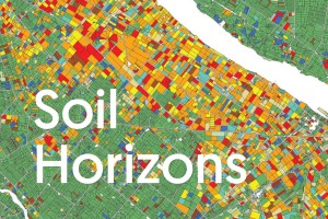
Our Land highlights our research into the long-term effects of land use on environmental health and resilience. The videos displayed on this video wall highlight how satellites and other emerging technologies are improving the reporting and evaluation of trends. Satellite images enable landscape comparisons over time to show large-scale effects of historical land-use decisions.
This work is crucial to help decision-makers understand the pressures that different land uses are placing on our land and waterways.

