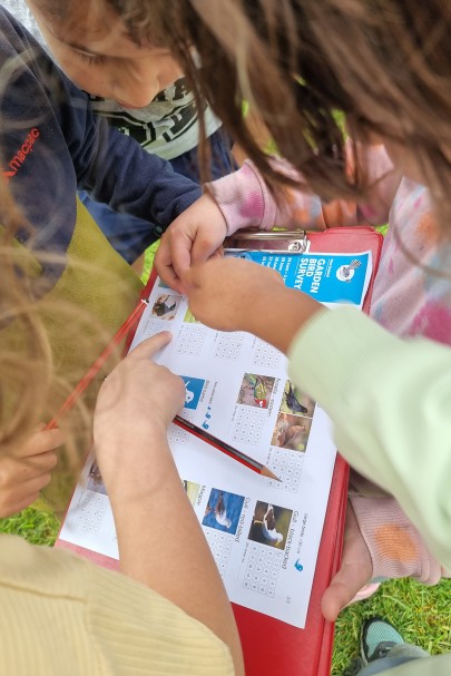
Citizen scientists doing the Garden Bird Survey.
Recent work by Manaaki Whenua’s Dr Dan Richards and colleagues provides a good example of this synthesising approach. The challenge was to define how the natural environment contributes to people’s well-being in urban areas – a concept known as Nature’s Contribution to People (NCP). In general, the more socially and economically vulnerable areas of a city have lower NCP – less access to green space being the most obvious aspect. Sound urban planning aims to reduce inequalities in NCP – but most studies of NCP have only used a narrow range of indicators to define it.
Dan’s team used as wide a range of NCP indicators as possible to enable sound conclusions to be drawn. Post- quake Christchurch was chosen as a test case, as a diverse city that has experienced considerable planned redevelopment over the past decade. The questions to answer – where do current NCP inequalities lie, and where are the priority areas for future investment in green infrastructure?
Nine NCP indicators, which overlapped to some extent, were used to build a composite picture: tree biomass to show carbon stocks and offset urban carbon emissions; stormwater runoff retention to show how vulnerable an area is to flooding; soil erosion prevention; air pollution; tree shade; green cover within school boundaries; green space within residential areas; distance from a public outdoor space; and bird species richness. Most of these indicators were derived from remote sensing, but the last indicator used actual count data from Manaaki Whenua’s national New Zealand Garden Bird Survey as a real indicator of biodiversity on the ground.
The Garden Bird Survey data were an invaluable addition to the research, providing a view from ground level. Almost 1000 Garden Bird Surveys were included in the analysis, representing a huge contribution from the public.
The indicators were compared against the Economic and Social Vulnerability Index (ESVI) – which combines 33 variables from the New Zealand census such as data on home and car ownership, smoking, and access to the internet, that can show whether people living in an area are socially or economically disadvantaged.
Few studies of NCP have had access to such detailed biodiversity records in addition to high-resolution spatial data. As expected, more socially and economically vulnerable people had less access to urban NCP, with less access to carbon stocks, more runoff/flooding, lower air quality, less shade, less educational, public and private green spaces, and lower bird biodiversity – although more vulnerable neighbourhoods did have (negligibly) better soil erosion mitigation.
The researchers suggest that inclusion of te ao Māori concepts of socio- cultural-ecological vitality will add another dimension to the next iteration of this work, and Dan is already encouraged by the overall proof of concept: “Our data and approach have proved sound, so these methods could be replicated to enable better and more affordable planning of urban green infrastructure projects by local and regional councils in the future,” he says. “In fact, we are already working with Selwyn District Council on their network planning and park management for Rolleston, a suburb of Christchurch that has experienced huge recent growth.”
Key contact


