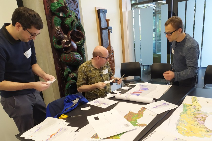
Researchers at Manaaki Whenua have tapped into that sense of fun to use games to help explain land-use scenario modelling for spatial planning.
Senior researcher Dr Peter Edwards developed a board game using land- use scenario modelling results from the ‘Growing for Good’ land-use modelling study and additionally produced maps on land-use suitability and catchments under pressure from freshwater nutrient contamination.
Senior researcher and geospatial modeller Dr Alex Herzig then co-ordinated a workshop for several planners and strategy advisors from Environment Canterbury where players, supported by Dr Clemence Vannier and Dr Dan Richards (Manaaki Whenua), had to design ‘optimal’ land-use configurations (expressed as different area shares of different land-uses) for individual districts in Canterbury. “The objective was to try and minimise greenhouse gas emissions and freshwater impacts through nitrogen and phosphorus losses while considering profitability and land-use suitability,” says Alex.

Manaaki Whenua researchers Drs Dan Richards, Peter Edwards and Alex Herzig prepare material for the land-use board game Peter developed
He says the feedback from players was overall very positive. “The game was seen as particularly useful for communicating overall planning challenges involved with tackling complex multi-faceted issues.
“While players were generally aware of the challenges involved, dealing with the explicit modelling results and numerically evaluating their specific land-use configurations really hit home in grasping the magnitude of the problem, and the lack of obvious solutions for some districts,” says Alex.
“They recommended this type of game would be educational for councillors and decision-makers in general, and potentially also for members of the public to help engagement with the issue.”
The players also expressed an interest in gaining access to the actual modelled scenario data and maps for more detailed information on specific issues and areas.
The workshop showed the combination of serious gaming and spatially explicit land-use scenario modelling has the potential to create significant impact with decision-makers and potentially the wider public by communicating
the magnitude of adaptation pressure, the requirement for holistic landscape- scale planning approaches, and the challenge of developing potential planning options for adaptation.

